LAND SURVEY SERVICES
Topographic Surveys
Ground levels, contours, and digital terrain models at any scale from plots to regional corridors.
Cadastral & Boundary
Legal boundary demarcation, plot subdivisions, and title verification surveys per Kuwait Municipality standards.
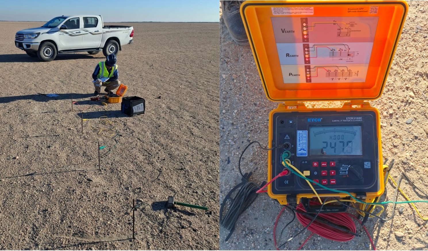
GNSS / GPS Control
RTK and static GNSS observations for primary control networks, KPBM-compliant benchmarks, and densification.

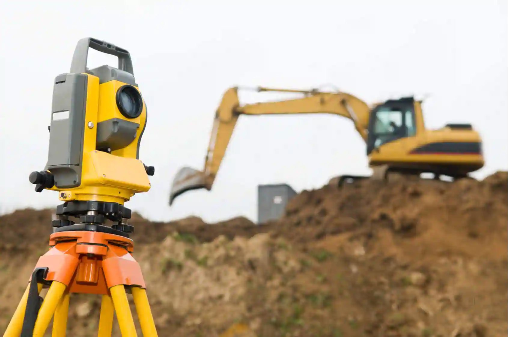
Engineering Surveys
Setting-out, earthworks volumes, stockpile quantification, and as-built verification for active construction.

Subsurface Utilities
Utility detection and mapping to ASCE 38 quality levels using Ground Penetrating Radar (GPR) and EM locators.

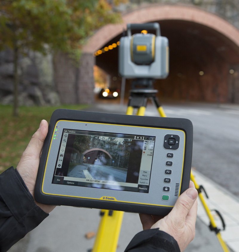
3D Laser Scanning
High-density point clouds for BIM, scan-to BIM modelling, heritage documentation, and as-built verification.